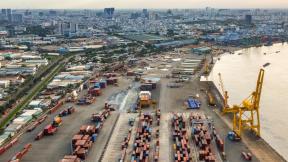
Accurate measurements of household-level economic well-being are crucial to understand and mitigate poverty, vulnerability, and inequality. Yet, this granularity of data is rarely available at the national scale in developing countries. This work leverages the commercial availability of high-resolution satellite imagery and advances in machine learning and geospatial analysis to predict wealth and consumption at the level of individual households, a scale that previous poverty mapping efforts have not been able to achieve. Leveraging ground truth data sourced from partnerships with governments and development organisations in Bangladesh and Togo, the study investigates the accuracy with which deep learning models can estimate household income and assets in two developing countries.
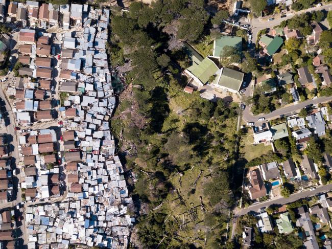
To accomplish this task, the study utilises three types of data: satellite imagery, building footprint polygons delineating individual dwellings, and “ground truth” labels of consumption in each of these locations. The satellite imagery is sourced from 2022 Google satellites, and the building footprints were obtained from OpenBuildings. These data sources were chosen after careful consideration of other imagery providers and footprint delineations, and were found to offer the best combination of availability, accuracy, completeness of coverage, and cost. These data were spatially matched against ground truth economic indicators. In Bangladesh, the study utilises a survey of 100,000 households conducted in the Cox’s Bazar District in 2022, which reports a Progress out of Poverty Index (PPI; a consumption index). In Togo, the study relies on a survey of 6,000 households conducted nationwide in 2018, which reports both household consumption in CFA and an asset index. The satellite imagery and building footprints are fed as inputs to two data analysis workstreams: a deep learning-based model in which important predictive features are automatically extracted, and an expert-curated feature extraction process, in which humans with domain expertise explicitly define which data transformations are relevant to predicting the target outcome (PPI, consumption, or asset index). The study finds comparable predictive performance across workflows, but find the manual curation approach to be conceptually simpler and easier to implement for policy organisations and governments.
The relevance of this work to policymaking is twofold. First, from an operational standpoint, more granular estimates of poverty allow for precise targeting of social protection and humanitarian aid in developing countries, where these datasets may not exist. Further, from a methodological view, the study elucidates to policymakers the trade-offs in applying two approaches to analysing satellite imagery, a question that has relevance to applications beyond economic targeting, including agronomics and climate response. This project is the first systematic evaluation of whether household-level socioeconomic status can be estimated from high-resolution satellite imagery, and which imagery analysis workflow is best suited to this task. The study evaluates how accurately several measures of poverty and vulnerability can be estimated from satellite imagery at the household level.
