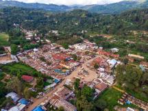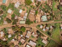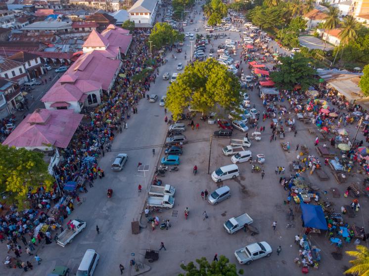
Effective targeting of social policies and their rigorous evaluation require relevant and accurate data. With the majority of the world’s poor depending on agriculture and informal businesses for their livelihoods, information on these sectors is particularly valuable. High logistical costs, however, prevent most low-income countries from collecting measures of economic activity frequently and consistently over time. I use high-frequency satellite imagery to map rural marketplaces across large geographies and track activity within them in real-time. The method accurately detects existing markets and measured activity not only displays intuitive variation with respect to exogenous shocks, but also expands their temporal and geographical detail. Focusing on East Africa, I present applications of the novel method to the effects of lockdowns and violent conflict on market activity.
Previously titled "Remotely-sensed Market Activity as a Short-run Economic Indicator in Rural Areas of Developing Countries".